Big Bend & Lajitas Stables
Exceptional Texas Horseback Trail Riding
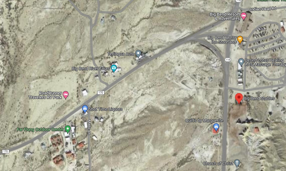
GPS Coordinates: 29.327045, -103.534495
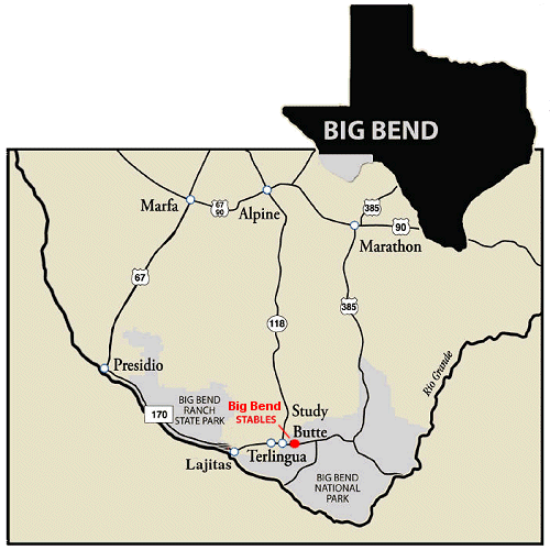
The following directions are from the three major access towns along Texas Hwy 90 north of the Big Bend & from the Heart of the National Park.
From Terlingua Ghost Town (10 min)
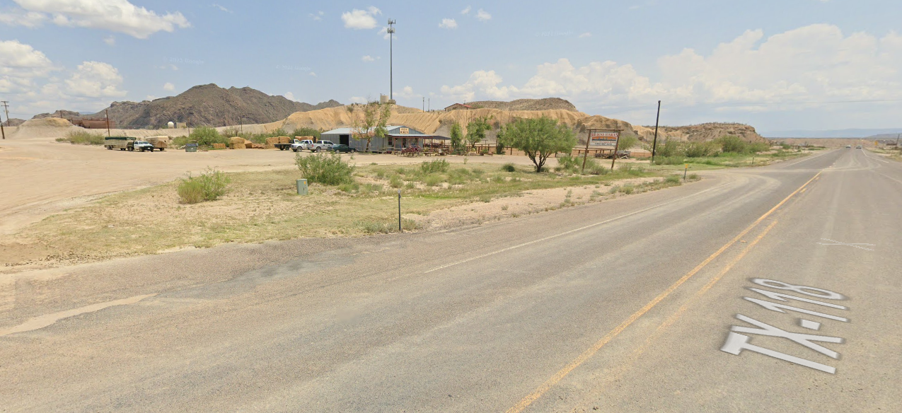
1) Turn left (east) out of the ghost town and head down HWY 170. Once you see the Alon Gas Station take the fork to go right onto HWY 118 2) We are immediately on the left-hand side, look for our signs that say, “HORSEBACK RIDES” and “BIG BEND STABLES”.
From Chisos Basin in BBNP (45 min)
1) Drive down from the Chisos Mountains. Turn left at the stop sign towards Terlingua/Study Butte 2) Once you leave the park, after a few minutes we will be on the right-hand side of the road just past the church & the cows
From Alpine (1.5 hrs)
1) Drive south on Hwy 118 2) Once you reach Terlingua/Study Butte we are located just past the Alon gas station on the left side of the road. Look for our signs that say, “HORSEBACK RIDES” and “BIG BEND STABLES”.
From Marathon (1hr45min)
1) Drive south on Hwy 385 to Big Bend National Park Headquarters. 2) Turn right at Park Hqtrs. and drive west to Terlingua/Study Butte. 3) About 2 miles after leaving the park, you’ll find us on the right side of Hwy 118 just BEFORE the Alon gas station. PLEASE NOTE: park entrance fees may be required via this route.
From Marfa
FASTEST ROUTE: (~2 hours)
1) Drive east on Hwy 90 to Alpine 2) Turn south on Hwy 118 to Terlingua/Study Butte. We are located just south of the Alon Gas Station on the left side of Hwy 118.
SCENIC ROUTE: (~2.5 hours)
1) Drive south on Hwy 67 to Presidio. 2) Turn left onto FM 170 towards Lajitas. 3) Drive another 20 miles east to Terlingua/Study Butte. 4) Turn right on Hwy 118, then immediately left into our parking lot (just south of the Alon Station on the left side of Hwy 118).
